Updated 14 February 2022 at 12:57 IST
What are Earth Observation Satellites? Orbit and applications explained
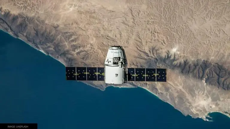
Earth observation satellite is also known as the Earth remote sensing satellite. These satellites observe the planet Earth from space for several purposes.
- Science News
- 3 min read
India has successfully launched the PSLV-C52 today from Sriharikota in Andhra Pradesh. The Polar Satellite Launch vehicle is carrying an Earth Observation Satellite (EOS-04) and two other satellites. It was launched at 05:59 AM IST from Satish Dhawan Space Centre. It is the first ISRO mission launched in 2022. The launch vehicle has already injected the EOS into its intended orbit at 06:17 AM IST. However, some readers might want to know about what are Earth Observation Satellites and what are their applications. Keep reading to know more.
What is an Earth Observation Satellite?
Earth observation satellite is also known as the Earth remote sensing satellite. As the name suggests, the satellites observe the planet Earth from space. The first EOS or remote sensing satellite was Sputnik 1, the first artificial satellite sent to Earth's orbit by the Soviet Union in 1957. It was used to study the topmost layer of Earth's atmosphere, the ionosphere. Thereafter, the first American satellite was sent into space in January 1958, called Explorer 1. Most EOS operate at about 500 to 600 kilometres from the surface of the earth and due to the substantial air drag they face at such a lower altitude, their orbits have to be rebooted frequently.
What are the applications of Earth Observation Satellites?
These satellites can be used for various purposes, including environmental monitoring, cartography, navigation and more. Military of different countries also use the Earth observation satellite for spying and communication. The most common example of applications of EOS are the images of Earth, or the view available in a popular Earth discovery application called Google Earth.
To get the entire view of the Earth, EOS is placed in a polar orbit, which is where the Indian satellite will be placed. While the actual science behind this might be very complicated, the satellites are placed at a point where the relative motion of the satellite and Earth's movement around its polar axis, the satellite is able to get a view of the entire globe. To achieve an orbital period of 24 hours, which is also equal to one day on the Earth, EOS has to be placed in a geostationary orbit, which is at 36,000 km from the surface of the Earth.
Advertisement
What is the Indian EOS designed for?
Notably, the earth observation satellite or EOS-04 is a radar imaging satellite designed to provide high-quality images under all weather conditions to be applicable on various fields including Agriculture, Forestry & Plantations, Soil Moisture & Hydrology, and Flood mapping. Meanwhile, the two other scientific payloads installed in the satellite will help in improving the understanding of ionosphere dynamics and the sun's coronal heating processes. Stay tuned for more science news.
Image: UNSPLASH
Published By : Shikhar Mehrotra
Published On: 14 February 2022 at 12:57 IST